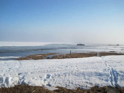
Looking out over the river to the south, the water is a foot over the bank and up to the closest snowdrift. Jim pulled the boat up and reset the anchor. Our boat ramp and the normal edge of the river bank is more then 10 feet behind the boat in this picture.
Below the view is toward the west and catches the corner of our lake that is flooded clear up to the front of our hanger. The river channel that flows along the NW side of our island has flooded into the lake and the water accumulates along the perimeter of the lake, since the lake is still covered with thick, solid ice over 6 feet deep. Although it is hard to tell in this picture due to the snowdrifts, there is water flooded inside the front of the hanger.
In this shot, I'm looking north from our Lakeside door. The water around the lake is flooded way out of the normal lake edges up into the yard. The ice in the mid-left of the picture is the lake ice.
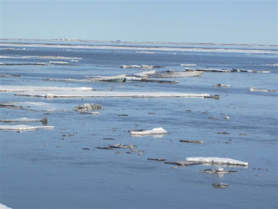
By mid-afternoon on May 30st, broken ice began streaming down-river past our house as some of the ice jam finally broke. By late evening, even our thick channel or ribbon ice was gone. The water started to drop and the danger of further flooding was over.


